Improving climate modelling accuracy
Challenge
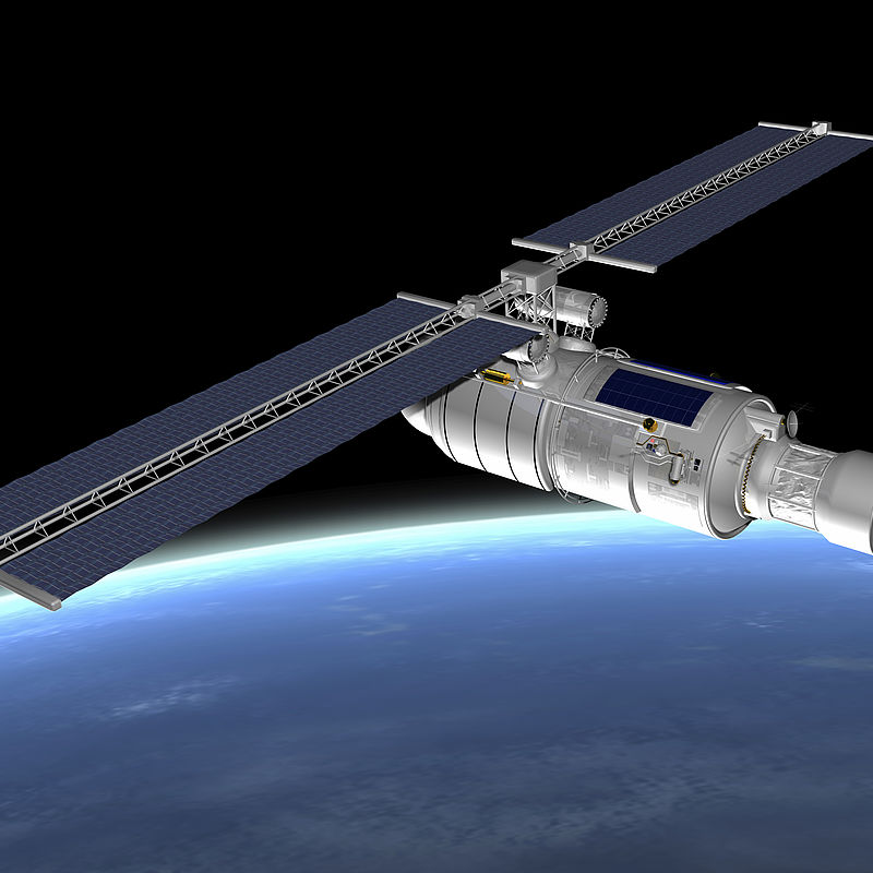
Observations of the Earth’s atmosphere, oceans and land from space are vital for climate studies. These are built into models used by climatologists to understand and predict how weather patterns are changing. International initiatives such as the Quality Assurance Framework for Earth Observation (QA4EO) are increasing this community’s understanding of the importance of quality assurance, rigorous uncertainty analysis and measurement traceability for underpinning climate trend identification.
Measurement data generated by orbiting satellites requires robust links to ground based instrument responses to validate data quality and support its use in climate modelling. However, changes in the ambient temperature and pressure between ground based and satellite borne instrumentation can introduce significant result variability.
The European Space Agency, ESA, believes that there is an increasing need for climatologists to have a good understanding of all the sources of experimental data spread and the effects these introduce in climate trend analysis. Training courses that increase this community’s ability to consider parameters that contribute to result variability are needed to increase their skill set and improve the quality of data that underpins reliable climate change trend identification.
Solution
The EMRP projects European metrology for earth observation and climate and Metrology for Earth Observation and Climate generated training material suitable for analysts working with satelliteborne, air-borne and ground-based observations to evaluate the measurement uncertainties that contribute to data variability. This material was converted into an easy to assimilate course in the EMPIR project Uncertainty Analysis for Earth Observation e-Learning Training Course and is accessible via NPL’s Learning Management System. All the components of the course are compatible across multiple devices, operating systems and browsers, thereby allowing users easy access remotely.
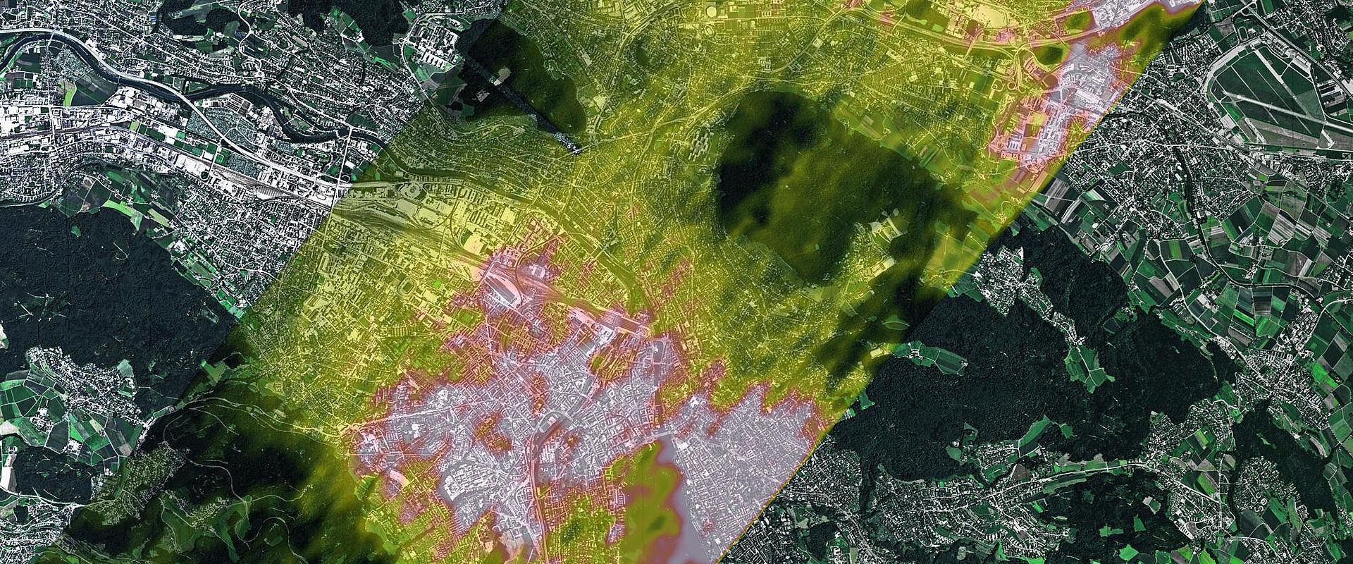
Modular in concept, the first stage provides the required skills for assimilating the concepts used in the more practically orientated subsequent stages. Module 3 highlights the APEX spectral instrument used during research flights studying natural phenomena such as vegetation cover on hills or air quality using solar reflectance measurements. By linking satellite-generated reflectance measurement data to ground-based instrument responses and understanding the variation in data this creates is achieved using worked examples for post-launch instrument calibration techniques.
Impact
Paolo Castracane, ESA/ESRIN, evaluated the course and found it ‘very well-structured and its technical content well presented with the adequate degree of repetitions and overlaps to fix concepts.’ Another course student, Daniel Kükenbrink, applied its methods in his research on the radiance effects of single trees on their surroundings. These effects generate small changes and having a robust method for assessing measurement uncertainties has given the data he generated greater acceptability by the scientific community.
The course concepts support the introduction of Fiducial Reference Measurements – a suite of independent, fully characterized, and traceable ground measurements that follow the guidelines outlined by the GEO/CEOS Quality Assurance framework for Earth Observation (QA4EO). Greater awareness by climatologists of the importance of uncertainty assessments for earth observation measurements is increasing the ability for independent result scrutiny, essential for improving confidence in the predictive modelling that underpins climate change trend analysis.
- Category
- EMRP,
- Environment,
- EMN Climate and Ocean Observation,
