Refining the geodetic methods required to monitor climate change
Challenge
To monitor changes caused by natural phenomena, like earthquakes or volcanoes, or the effects of global warming, accurate measurements of the Earth’s surface are required. This is performed by geodesists using ‘reference frames’, one of which is the ‘International Terrestrial Reference Frame’ (ITRF). This utilises a suite of positioning techniques including ‘Very Long Baseline Interferometry’ (VLBI) which links the position of ground-based radio antennas with respect to stellar sources, such as quasars, ’Global Navigation Satellite Systems’ (GNSS), ‘Satellite- Laser-Ranging’ (SLR) and ‘Doppler Orbitography and Radio positioning Integrated by Satellite’ (DORIS).
At geodetic observatories using multi-techniques, data from these different methods needs to be fused together to allow a joint analysis. To do this their observations need to be transformed to a joint frame of reference, using so-called ‘local tie‘ vectors. These are measurements that provide information on the position and orientation of each instrument with respect to the others.
To chart glacial melt and sea level rise due to climate change, a positioning accuracy of 1 mm is required. However, whilst the ITRF is updated periodically using state-of-the-art measurements, geodesists observed systematic discrepancies and an evaluation of the ITRF2014 in 2017 identified differences of more than 5 mm for about one half of the local ties. To meet future requirements, the ties in the ITRF needed to be substantially improved to provide confidence and constraints on observations from global data combinations.
Solution
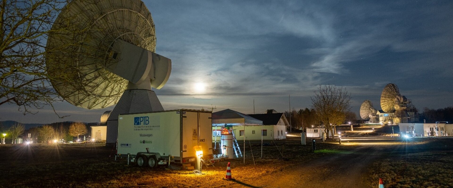
During the GeoMetre project, measurement campaigns were performed at two multi-technique co-location sites that already had state-of-the art local ties: the Metsähovi Geodetic Research Station (MGRS), Finland, and the Geodetic Observatory Wettzell (GOW), Germany.
At GOW, a new multilateration 3D system DistriMetre was used to determine the reference point of a VLBI telescope with respect to reference pillars, to better than 1 mm. Two new long distance Electronic Distance Meters (EDM), Arpent and TeleYAG-II, that intrinsically compensate for air refraction, were used to determine the reference baselines in the local surveying networks and to include, amongst other things, a baseline of around 5 km to allow network analysis. For the first-time, close-range photogrammetry was applied to determine the reference point of an SLR telescope.
To account for refractive beam bending, due to temperature, a new ultrasonic air temperature gradient system was used alongside calibrated commercial sensors.
At MGRS, the EDM instruments were used in conjunction with new spectroscopic temperature measurements and two new reference point masts were constructed for the GNSS and tachymeter network to improve the geometry.
At both sites, uncertainty in GNSS references due to local gravity fluctuations were thoroughly investigated and included into adjustment software tools used for the local tie vector analysis.
Impact
The targeted uncertainty of 1 mm between ties has now been achieved, reducing the measurement uncertainty of these measurements at the two Geodetic Research Stations which have now updated their networks. This achievement was made possible by the expertise of the project’s consortium and the specifically tailored instrumentation developed. This includes the EDM range meters capable of measurements up to 5 km in air with sub-millimetric uncertainty, a metrologically-sound approach to GNSS-based distance measurement, and the 3D multilateration system for an outdoor working volume of 50 m, which reduces the measurement uncertainty by a factor of 3 compared to state-of-the-art systems.
In addition, project results have contributed to an updated version of the ITRF (ITRF2020).
In the future the techniques and instruments developed can be applied to the 15 other Global Geodetic Observing System core sites world-wide, which will allow a more accurate monitoring of both natural movements of the Earth’s crust and sea level rise due to climate change.
