European metrology for earth observation and climate
Making measurements of Earth from space: Improving global observations of the Earth for climate change studies

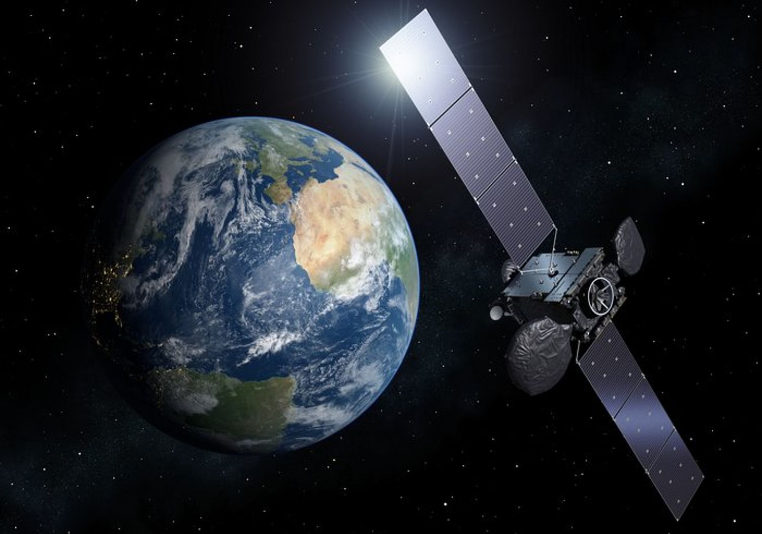
Earth observation agencies worldwide are moving towards a more coordinated approach to data gathering. With the increased importance of the data they provide, they are demanding improved measurement accuracy of the instrumentation on board Earth observation satellites. Satellites remain in service for several decades and in-flight calibration is critical to long-term comparability of climate data. A factor of 10 improvement in key variables would enable robust discrimination between the natural variability of the climate system and anthropogenic change in the shortest time possible.
Achieving this accuracy improvement is a long-term global endeavour and this project developed key components of the metrological infrastructure for the calibration and validation of satellite and air-borne radiometric instrumentation, traceable to the SI units. The infrastructure comprises:
- Improved NMI calibration facilities – the LAVRAS (large field-of-view camera systems) calibration facility that provides traceability to transfer standards used to calibrate instrumentation in the field.
- Derivation of uncertainty budgets and procedures for Earth observation measurements.
- Transfer standards and instrumentation for the characterisation of large areas of ocean, vegetation and desert, to be used to confirm satellite-borne instrumentation performance.
- A radiometric transfer standard for the planned TRUTHS mission (an ‘NMI in space’) with higher sensitivity and accuracy than previously possible. The prototype in-flight primary radiometer is capable of a radiometric accuracy of 0.3% – a factor of 10 improvement on previous transfer standards.
The project is part of a wider endeavour of the metrology community to improve the Earth observation data available to climate scientists. The project team worked closely with the Earth observation community throughout the project to design and demonstrate new capabilities. For example, a portable leaf goniometer was used to generate initial data for a new leaf reflectance reference library, which will enable satellite data to be linked to real bio-geophysical parameters leading to the capability to ‘calibrate’ Earth targets (e.g. forests). Based on the work of the project a small sensor web (RADCALNET – developed by a number of space agencies) was constructed to demonstrate the feasibility of SI traceable verification for satellite-based instrumentation flying over ground sites post launch. The new infrastructure will contribute to improved performance of the joint EU and European Space Agency network of Earth observation satellites (Copernicus mission) currently under development.
EMPIR projects 14SIP02 EO e-Learning, 16ENV03 MetEOC-3 and 19ENV07 MetEOC-4 build on this work.
IEEE Transactions on Geoscience and Remote Sensing
IEEE International Workshop on Metrology for Aerospace, MetroAeroSpace 2015 - Proceedings 08/2015
Applied Optics
Journal of Quantitative Spectroscopy and Radiative Transfer.
Atmos. Meas. Tech
Remote Sensing of Environment
Proceedings of SPIE
Applied Optics
PFG Photogrammetrie, Fernerkundung, Geoinformation
Metrologia
Metrologia
IEEE Transactions on Geoschience and Remote Sensing
IEEE Transactions on Geoscience and Remote Sensing
Millimeter Waves and THz Technology Workshop (UCMMT), 2013 6th UK, Europe, China
Atmospheric Measurement Techniques (AMT)
AIP Conference Proceedings
Measurement Science and Technology
ESA Living Planet Symposium 2013, Edinburgh, UK 9-13 September 2013
Proceedings of SPIE 8511 - Infrared Remote Sensing and Instrumentation XX, 85110I
Participating EURAMET NMIs and DIs
Aalto (Finland)
INRIM (Italy)
LNE (France)
MIKES (Finland)
NPL (United Kingdom)
PMOD/WRC (Switzerland)
PTB (Germany)
Other Participants
Bergische Universitaet Wuppertal (Germany)
Deutsches Zentrum fuer Luft- und Raumfahrt eV (Germany)
Forschungszentrum Juelich GmbH (Germany)
JRC - Joint Research Centre - European Commission (European Commission)
Maanmittauslaitos (Finland)
Information