Land & Earth Observation
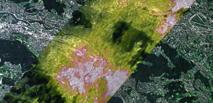
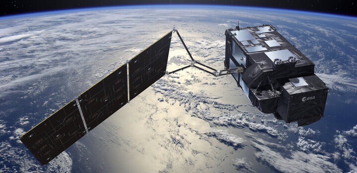
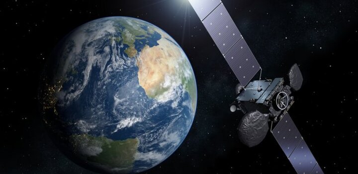
More than half of all Global Climate Observation System (GCOS) Essential Climate Variables (ECVs) (atmosphere, ocean and land) can only be measured via remote sensing from space and another quarter require at least some space-based observations. This section includes metrology support for all remote sensing techniques from all platforms including satellites, aircrafts, drones and surface-based remote sensing, along with observations that provide in situ validation of remote sensing techniques.
This section also covers the metrological needs of land-based in-situ observations. Land and its biosphere provide a natural sink for more than half of all anthropogenic CO2 emissions. Therefore, its continued health and sustainability is critical for achieving the net zero carbon goals needed to stabilise our planet. On the other hand, land can also be a source of greenhouse gas emissions, with potential tipping points such as methane release from permafrost in the cryosphere.
In this theme, our activities include developing standards and methods for the pre-flight and in-flight calibration and validation of sensors using remote sensing methods across the electromagnetic spectrum, remotely or locally deployed. It also covers the metrology needed to assign quality metrics to derived information products, i.e. accounting for retrieval algorithms, sampling and timescales that might span decades (historical and future). We also look to support those making or interpreting measurements of all land-based parameters - whether it be through laboratory calibrations or supporting field measurements in campaigns and networks.


